Directions from the A619
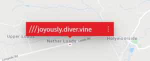
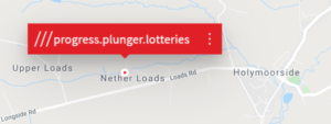
Please note that your satnav will show the destination S42 7HW as being on Loads road
~ look for the lane with chestnut trees, there is West Barn sign
Holymoorside is most conveniently be approached from the A619, approximately 3 miles west of Chesterfield. There are smaller lanes, but the best routes are:
On the A619 from the west :-
- After the Beefeater pub (formerly the Highwayman), turn right at the top of the hill, sign-posted for Eastmoor and Beeley.
- Go to the end of this road and turn left. This takes you from the top of the moor down a long hill – this becomes Loads Road.
- After about 2/3rds mile you will see a tree lined drive on the left and a West Barn sign.
- Turn left under the trees and drive down the lane, across a stone bridge and go left at the yard.
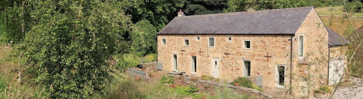
- West Barn can be seen on the left, up past East Barn.
On the A619 from the east :-
- As you leave Chesterfield, about a mile after the speed limit increases to 40, take a turning on the left signed for Holymoorside.
- Follow this for approximately 0.75 mile and turn right where the road forks into Loads Road towards Beeley (if you pass the Bull’s Head pub you’ve gone too far)
- The road turns sharply right and you pass the Lamb pub on the right.
- Continue straight up the hill and out of the village. You will pass a Severn Trent pumping station called the Whispering Well on the right.
- After a further 200yds turn into a tree-lined farm lane on the right (the only lane with trees) with a West Barn sign.
- Follow the lane down to the bottom, past Cobjoe Cottage and though a gateway and over a small bridge.
- When you reach the farm buildings, turn left immediately passing East Barn and up the drive to West Barn.